MaprunPlus: Burton Leonard Sun 19th Apr
Fun and relaxed, this event takes us into the beautiful countryside round Burton Leonard! The event uses the Maprun App, the latest version of which can be downloaded for free from all main stores (see below).
Event Specific Details
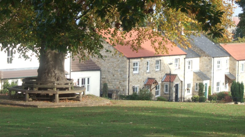
Venue: St Leonard’s Hall, Station Lane, Burton Leonard, HG3 3DG.
Location: Grid ref: SE327638. W3W: orders.recruited.fearfully. St Leonard’s Hall is at the bottom of the hill on the Lower Green. NOTE: There is no village car park. Parking will have to be on public streets wherever there are spaces. Some of the outlying housing estates may have decent availability. In all cases, please exercise proper consideration and courtesy towards residents.
Times: Registration open 0915-1115. First start 0930, Last starts: 120min-1030, 90min-1100, 60min-1130.
Maprun event link: posted here a couple of days before the event
Food and Drink: Tea and coffee available at the village hall, otherwise at The Royal Oak https://www.theroyaloak-burtonleonard.co.uk/ during the lunch period, 2 mins walk away.
Entries link: 
Entries: British Orienteering members £6, non-members £8. For a guaranteed map, enter by midnight Tue 14th April. After that date, entries accepted only if a map is available. Each entry represents one phone and receives one map. Pairs or group can run together using that phone/map, or enter separately if wanting to use more.
Organiser Richard Kirk
Enquiries: contact the Entries Secretary, Linda Kelly, at entries@claro-orienteering.org.uk
MaprunPlus series details
Format: A choice of 3 score courses: 60 mins, 90 mins, 120 mins. You visit as many controls as you can in the time allowed, scoring points for each control visited.
Scoring: 20 points per control, but you lose 10pts for every minute or part minute late back, so don’t be late!
Under-16s: all under-16s (on the day of the event) must be partnered on the course by at least one adult.
Map: A3 or A4 waterproof paper. Maps are usually based on either OpenStreet mapping or OS maps enlarged to 1:10000 or 15000.
Terrain: Mainly footpaths, bridleways, some pavements and roads, all with a mix of grassy and hard surfaces. Any significant variations will be included in the specific details above.
The Maprun App: These events use the MapRun app for phones and Garmin watches to record your route and the controls you visit. You will need to have the Maprun version 7 or later loaded on your phone in order to take part. It can be downloaded via the usual sites, with help (and download links) available at https://maprunners.weebly.com/
Help: with any aspect (including the app) available at the event! Pre-event enquiries see event details.
Claro event Ts and Cs: HERE You will need to confirm when entering that you have read and understood