Maprun Activities at Harrogate Eurocity
For orienteers visiting Harrogate for the Eurocity race we are offering even more orienteering in places that we hope you will enjoy visiting – Pateley Bridge, Ripon and West Harrogate. All activities are accessible by public transport and they will be available throughout July.
The activities are based on the Maprun App – see here if this is new to you. All of the activities are score events – three are in urban areas and allow 45 minutes to collect as many as possible of roughly 30 controls. The rural event is on footpaths and allows two hours to visit 30 controls.
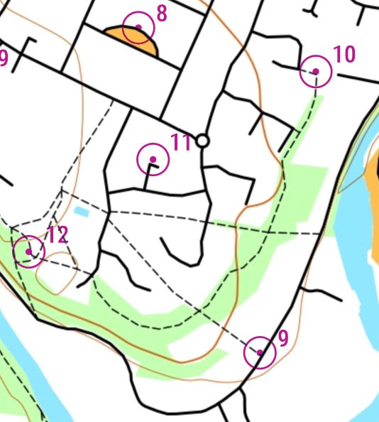
For the urban events the map is from OOMap, a simplified ‘stick’ map at 1:5000 or 1:7500 scale. A typical OOMap is shown left with solid line roads, dashed line paths, green woodland and orange open. White background implies built-up area which is out-of-bounds. The open and woodland areas are often crossable. Please use your judgement and do not cross private property.
The dot in the centre of the circle indicates which side of the path/road the ‘control’ is sited. This usually corresponds to a lamppost. But the Maprun App will usually beep when you are within 10-20m of the exact site.
Genral Info and Updates
More details, including how to get to the start will be on the back of each map.
Please check here before your run for any updates. If you have any issues with any of the courses please let us know at fixtures@claro-orienteering .org.uk.
West Harrogate
TBC
Ripon Centre
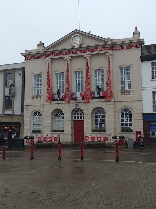
Grid ref: SE313711 Postcode: HG4 1PD What3words: tunnel.clutches.formless
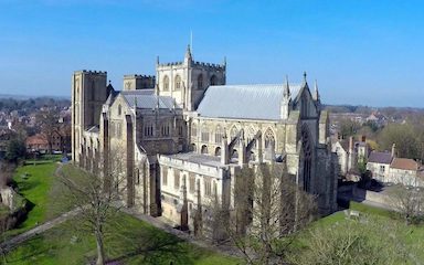
There is plenty of parking in central Ripon (except for market day, Thursday) and a regular bus service from Harrogate see here. There are innumerable cafes in Ripon and you should, at least visit the cathedral and the Workhouse Museum. Tourist info here.
From the bus station go south towards the cathedral to find the start.
Pateley
There are car parks in the centre of Pateley and a long stay car park 300m away which is usually very quiet. There are buses from Harrogate every two hours see here. There are plenty of cafes in Pateley, the local (Nidderdale) swimming pool is lovely but check times and the Nidderdale Museum is worth a visit.
The start is in front of the Agricultural Showground which is by the bridge. If you don’t expect to get to all of the controls and would like the scenic option we suggest going east by the river and up to the ruined church with fine views.
Pateley-Coldstones Rural Maprun
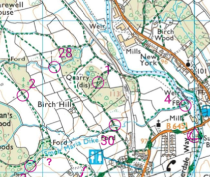
Grid ref: SE157655 Postcode HG3 5AR What3words: defended.playback.lions
See Pateley (above) for travel and tourist info.
This starts in the middle of Pateley Bridge at the war memorial by the bridge.
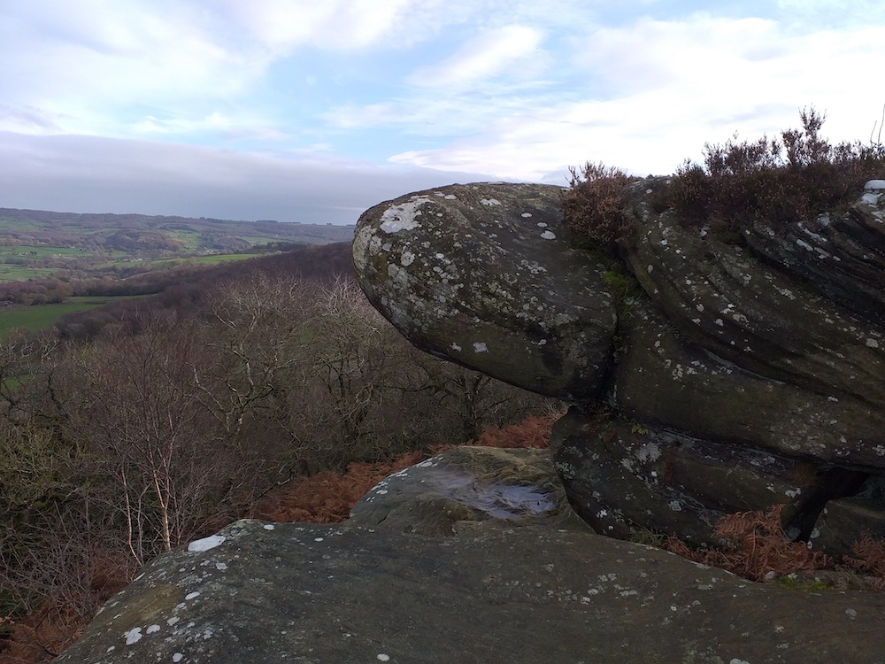
This is intended as a two hour score event but you could ignore the time limit and walk for longer. The highest point is at Coldstones (control 23) where there are picnic tables and a cafe 300m down the road at Toft Gate Barn. There is also an extra climb to the Coldstones Cut sculpture which has fine views of the dales and the quarry.
This is based on Ordance Survey 1:25000 map though the printed map is blown up to 1:15000 1:16000. For a map legend see here. Control sites are varied but always on a feature on the map. You MUST stick to footpaths or bridleways (green dashed lines) or public roads (coloured brown or yellow). Uncoloured roads and tracks are private roads and are out-of-bounds. You can also cross open-access land – shown as pale yellow background on some high ground.
The planner has checked all the paths and almost all are very clear on the ground and there are good gates or stiles at all walls and hedges. We recommend you wear suitable terrain shoes and carry waterproofs and/or water depending on the weather.